top of page


About
Aerial Imagery
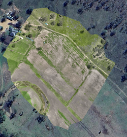
+ High-resolution aerial imagery can be processed into orthomosaics and site maps suitable for planning, documentation, reporting, and ongoing monitoring purposes.
+ These outputs help maintain current visual records of changing environments and improve visibility across large areas.
Operational Value:
+ Improved site & asset visibility
+ Accurate, repeatable records
+ Current visual site records
+ Repeatable mapping workflows
+ Faster access to site data
+ Improved stakeholder communication
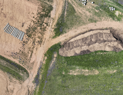
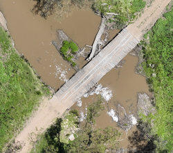
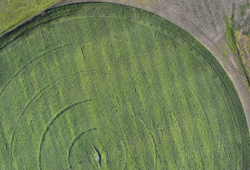
Aerial imagery provides current visual overviews of sites, infrastructure, earthworks, and project environments.
 |  |
|---|---|
 |  |
 |  |
 |  |
 |  |
 |  |
 |  |
 |  |
 |  |
 |  |
 |  |
 |  |
 |  |
 |  |
 |  |
 |  |
 |  |
 |  |


bottom of page